


MAppFx: Pohnpei & Kosrae, FSM – Streamflow Duration Curves
Developers NC Habana, DK Valerio, and LF Heitz Coming Soon! WERI Technical Report View MAppFx...
Developers NC Habana, DK Valerio, and LF Heitz Coming Soon! WERI Technical Report View MAppFx...
")
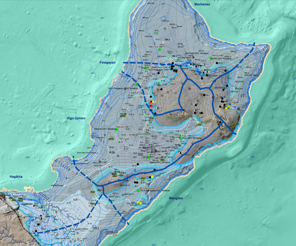
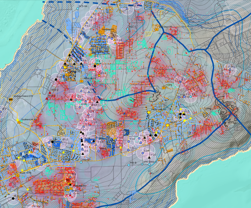
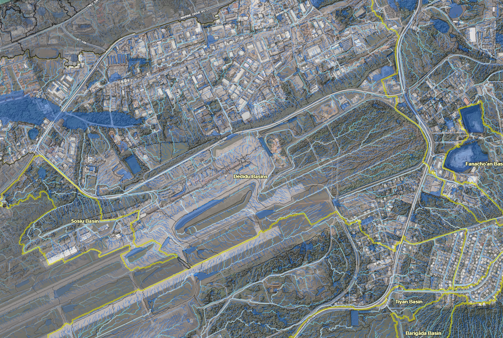
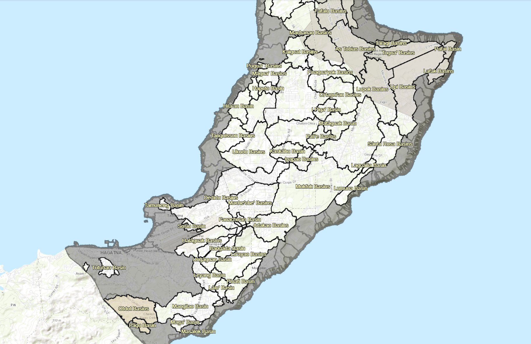
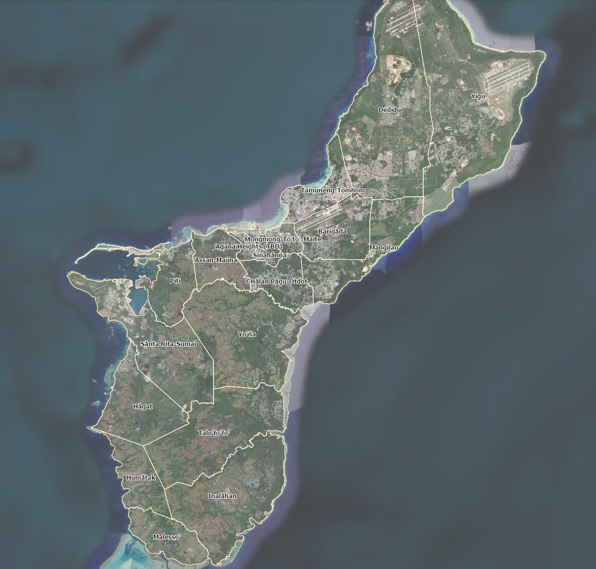
Developers MW Zapata, MC Snaer, DK Valerio, & NC Habana Coming Soon! WERI Technical Report View...

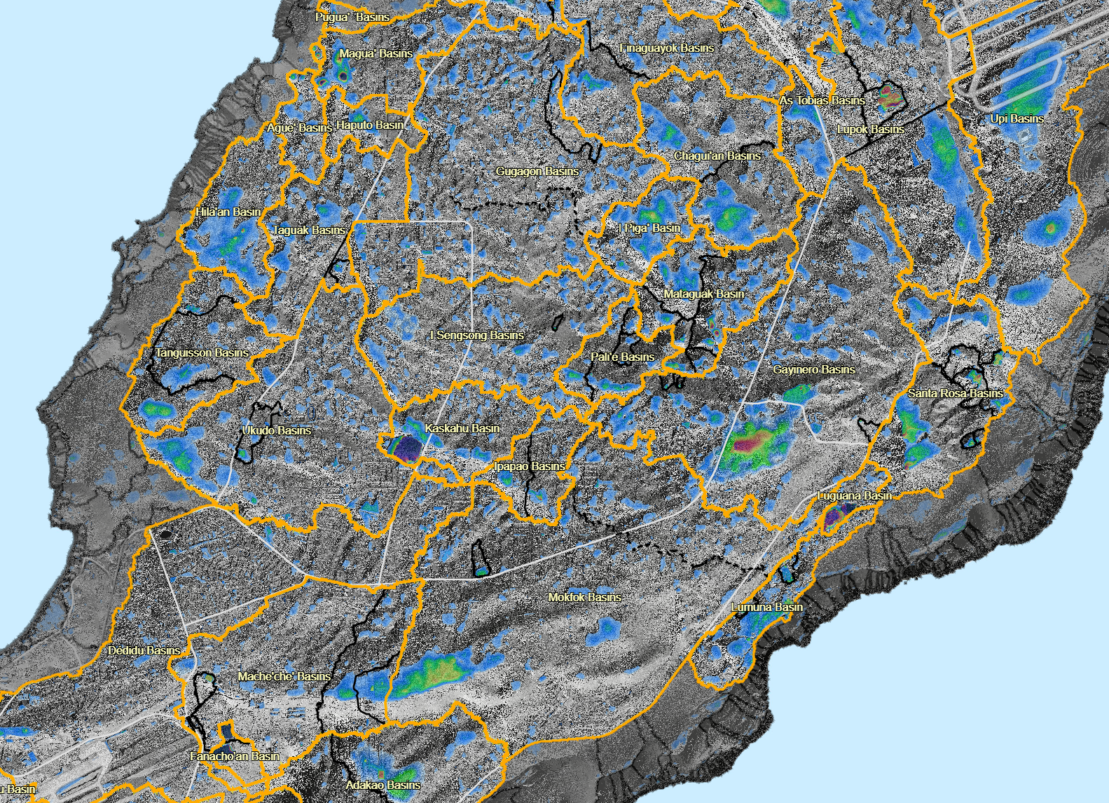
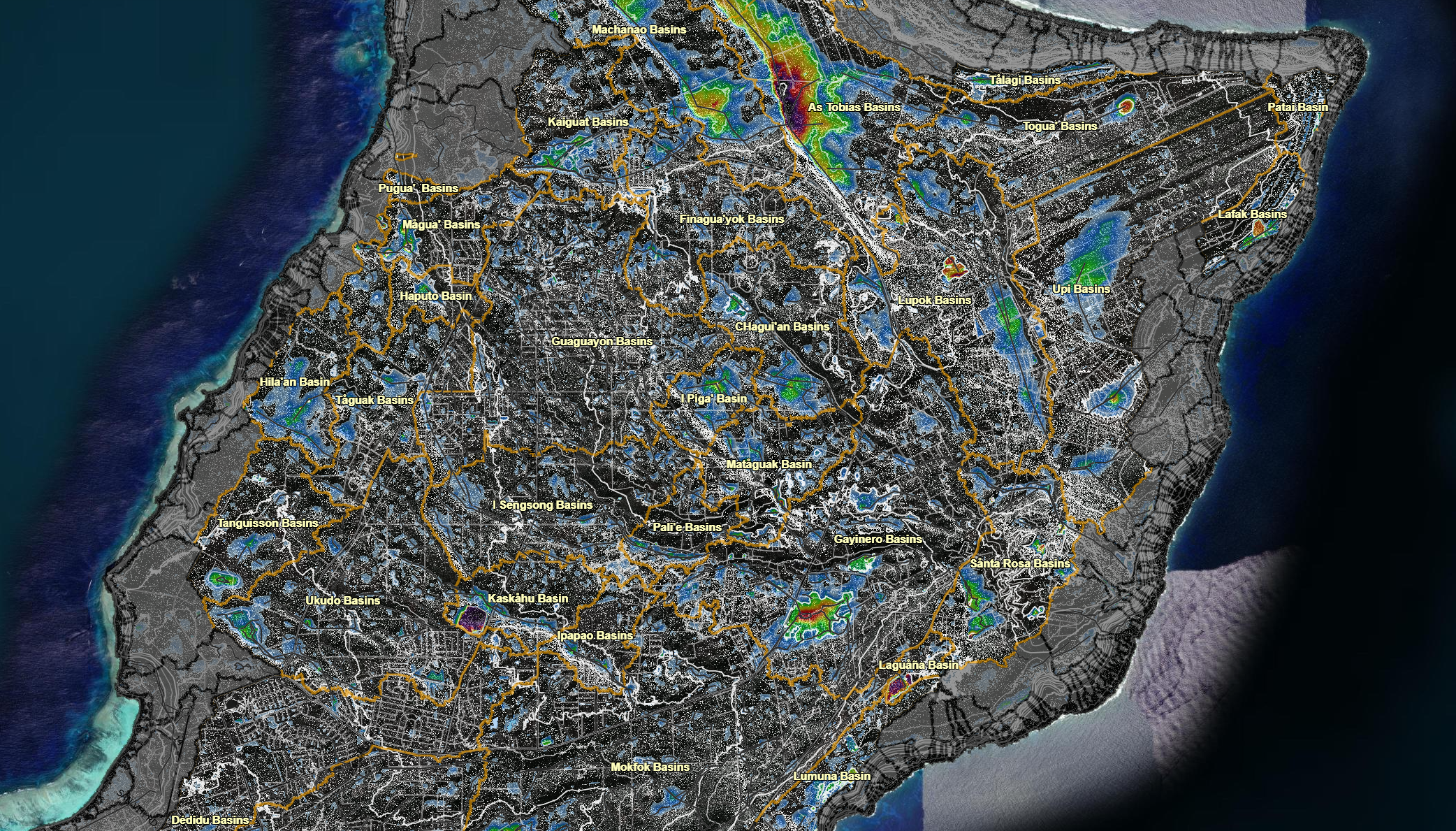
Developers MW Zapata, DK Valerio, & NC Habana Developers MW Zapata, DK Valerio, & NC Habana...

")

Our site uses cookies. By using this site, you agree to the Privacy Policy and Terms of Use.