Imagery Set

About : 
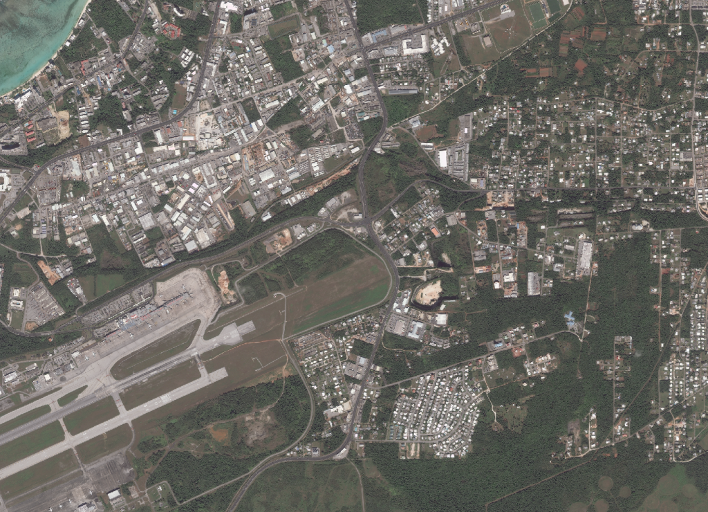
An imagery set of Guam in 2005, 2011, and 2015. ​

Updates: last updated in 2015

Web Map App: no links


image:

Maps by Organizations Browse

Water & Environmental Research Institute of the Western Pacific

Guam Bureau of Statistics & Plans

Kumisión I Fino’ CHamoru

Federal Emergency Management Agency

Latest Maps Browse

Back to top

Our site uses cookies. By using this site, you agree to the Privacy Policy and Terms of Use.