
About
Last Updated: 2021
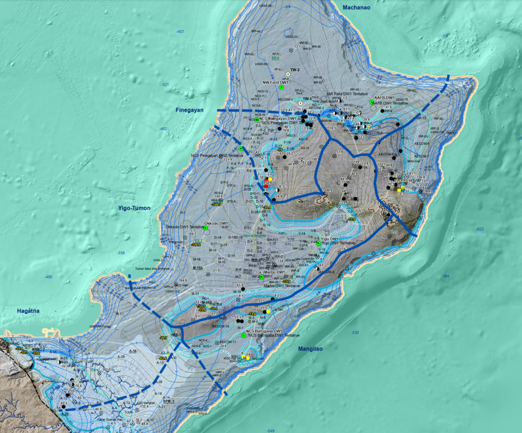
The Northern Guam Lens Aquifer (NGLA) is Guam’s major source of utility water, from which military and government of Guam draw up to 90% of the island’s potable water. As we continue to develop above and increase demand of utility water from this water source, we need to be careful. And we need more detailed information and availability of map products that can help strategize development. The NGLA Maps is the main source collection of useful spatial information obtained as an individual GIS shapefile or a blend of map layers that will be the most useful information for optimum development concerning our most valuable resource.
Downloadable Map Content
Click on an item below to begin the file download.
