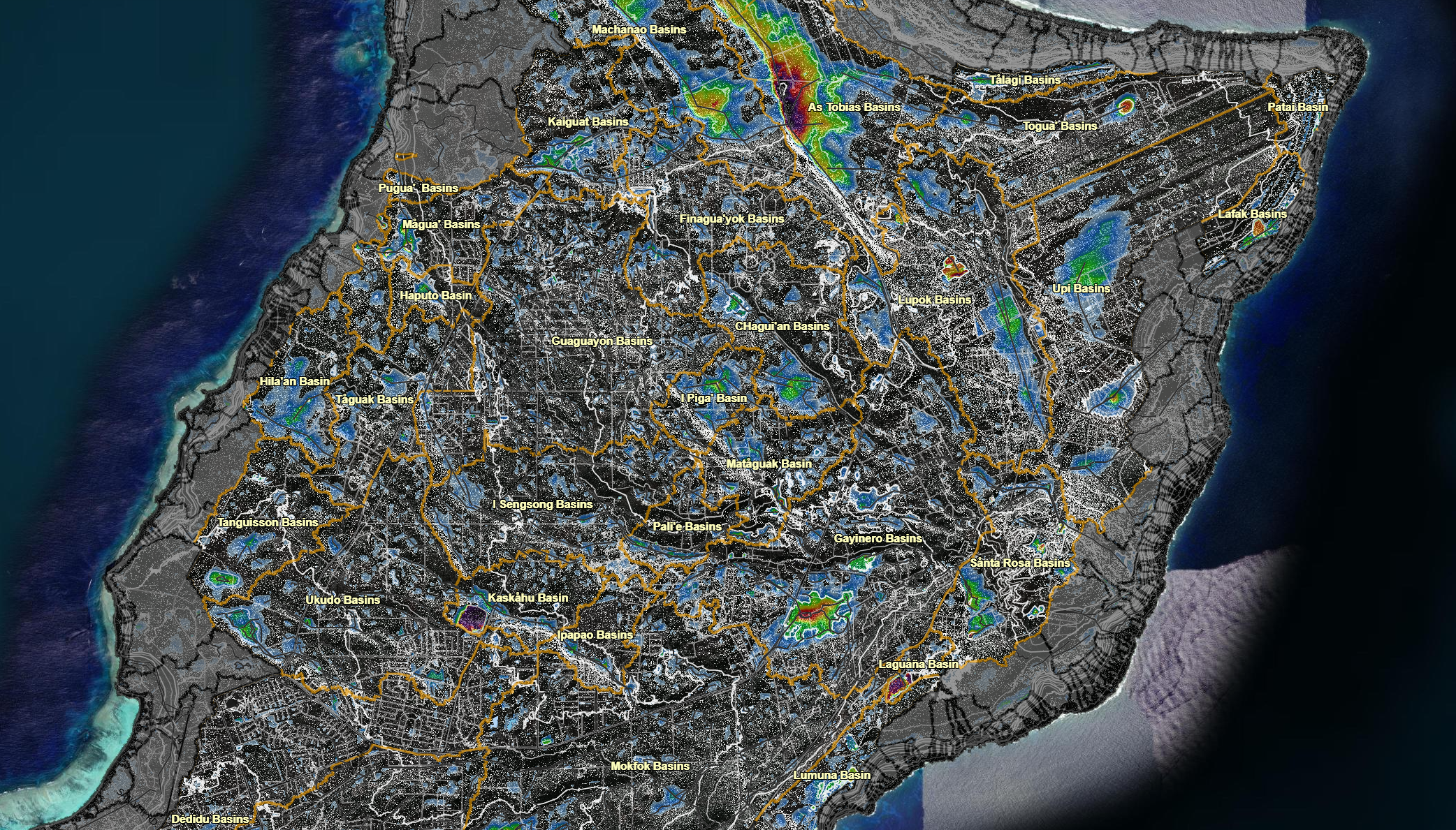
The Northern Guam terrain analysis applied spatial analysis flow direction and slope analysis. It is overlain with the plateau basins and surface depression areas. The contour with flow direction combination provide a depth perception that may suggest faults and fractures. Notice that the large surface depressions tend to be along a major fault. Faults, fractures, and linaments were drawn along possible strikes and strings of surface depressions. This product is a complimentary result of the surface hydrology anlaysis and early WERI-RCUOG consultant projects.
Downloadable Map Content
Click on an item below to begin the file download.
Plateau basins and internal basin boundaries (based on digital elevation model 2012)