It looks like nothing was found here!
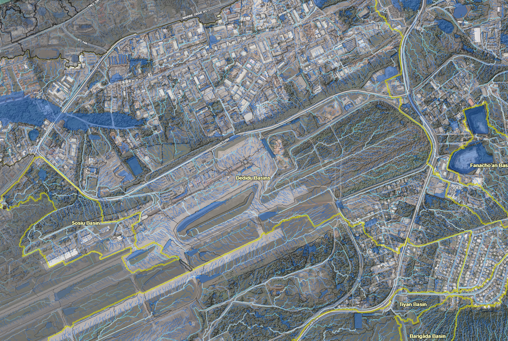
A map that features the LiDAR imagery of the surface hydrology of the Northern Guam Lens Aquifer (NGLA).
Click on an item below to begin the file download.
Our site uses cookies. By using this site, you agree to the Privacy Policy and Terms of Use.