Guam Hydrologic Survey

Guam Public Law 24-247 & 24-161

FEMA’s National Flood Hazard Layer (NFHL) Viewer

About

This map illustrates the nitrate concentrations in production wells. The contents of this analysis overlays the map of the Northern Guam Lens Aquifer (NGLA).

Updates

Last updated in 2021.

Downloadable Map Content

Click on one of the tabs below to view a list of shape files or raster files available for you to download.

Basement topography | Elevation contours, meters, Vann, Bendixson, Habana 2018

Basement contours | Select contours 0, -20, -40 meters

Parabasal zone 2014

Saltwater toe extracted from groundwater model | No pumping, 50% isochlor, Gingerich 2014

Aquifer basins 2021 | Basement and flow line delineation, from Gingerich 2013 model

Water table contours | No pumping condition, from Gingerich 2013 model

NGLA Map 2021 | Basic shapefiles package

Links to these files are currently under construction. Please check again later. 

About

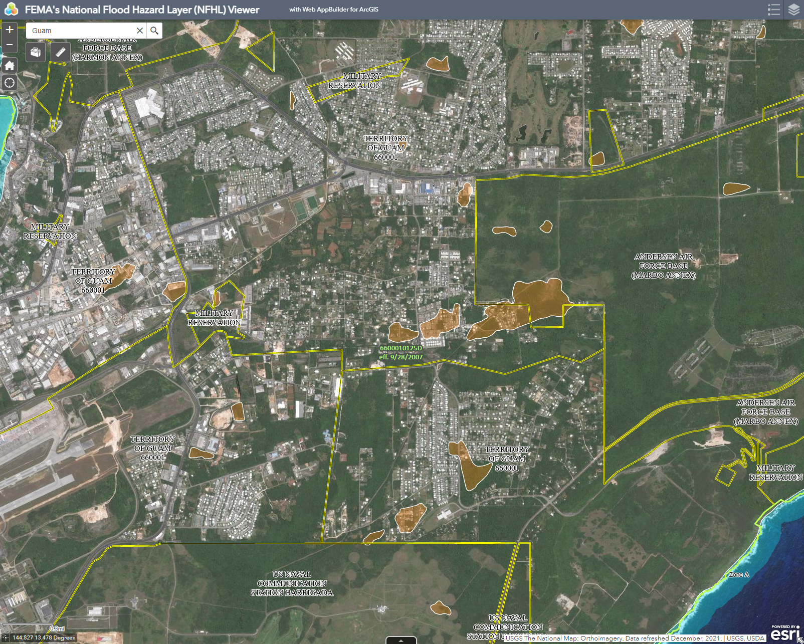
This map from FEMA features current flood hazard data. More information can be found on FEMA's website for the National Flood Hazard Layer, here. To view FEMA's flood map service page for Guam, visit this page

Table Of Content

Updates

Last updated in 2021

Web Map App

See some of the viewing options below #add in desktop and mobile view

Mobile view

Maps by Organizations Browse

Water & Environmental Research Institute of the Western Pacific

Guam Bureau of Statistics & Plans

Kumisión I Fino’ CHamoru

Federal Emergency Management Agency

Latest Maps Browse

Back to top

Our site uses cookies. By using this site, you agree to the Privacy Policy and Terms of Use.