Guam Hydrologic Survey

Guam Public Law 24-247 & 24-161

MAppFx Library

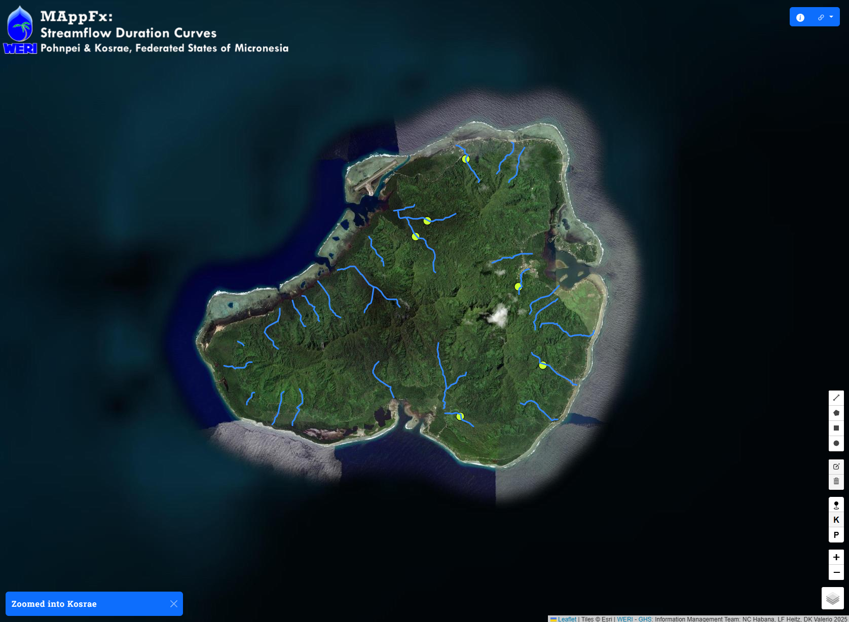
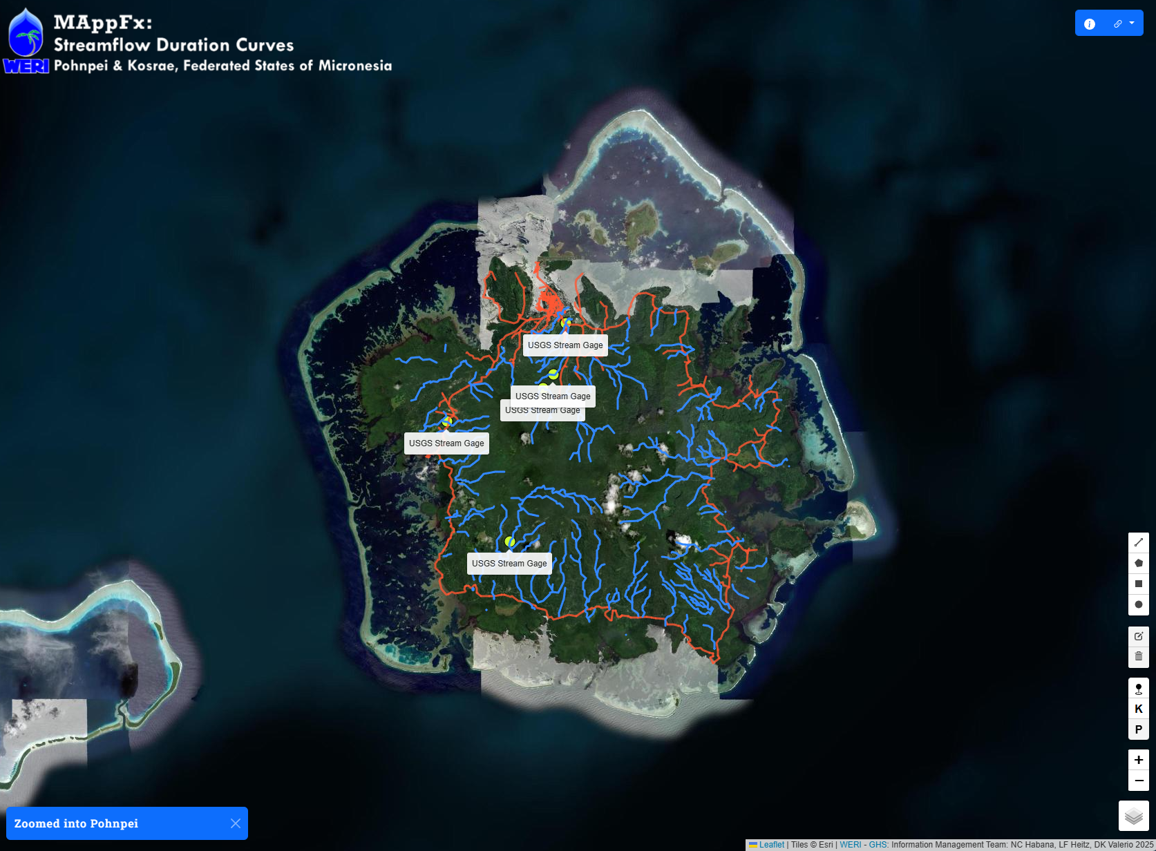
MAppFx is an interactive map environment that retrieves a graph of a site upon clicking on a map feature object–be it a point, polygon, or a line. WERI MAppFx is a product of WERI through the Guam Hydrologic Survey Program (P.L. 24-247) and USGS 104-b, available through the Guam Hydrologic Survey website. 

MAppFx is developed by the Guam Hydrologic Survey Information Management Team: Dannika Kate Valerio, Matt Wilson Zapata, Leroy F. Heitz, PhD, and Nathan C. Habana, PhD. The first two MAppFx products, Northern Guam Lens Aquifer: Production Well Nitrates and Southern Guam: Ugum Watershed – Streamflow Duration Curves, were done in collaboration with Brigham Young University’s Civil Engineering Department: Drs. Riley Hales, Gus Williams, and Norm Jones. 

CNMI Commonweath of the Northern Mariana Islands

CNMI

Commonweath of the Northern Mariana Islands

MAppFx: Saipan, CNMI - Production Well Chloride

MAppFx: Saipan, CNMI - Production Well Nitrates

Nothing found!

It looks like nothing was found here!

FSM Federated States of Micronesia

FSM

Federated States of Micronesia

Nothing found!

It looks like nothing was found here!

Back to top

Our site uses cookies. By using this site, you agree to the Privacy Policy and Terms of Use.