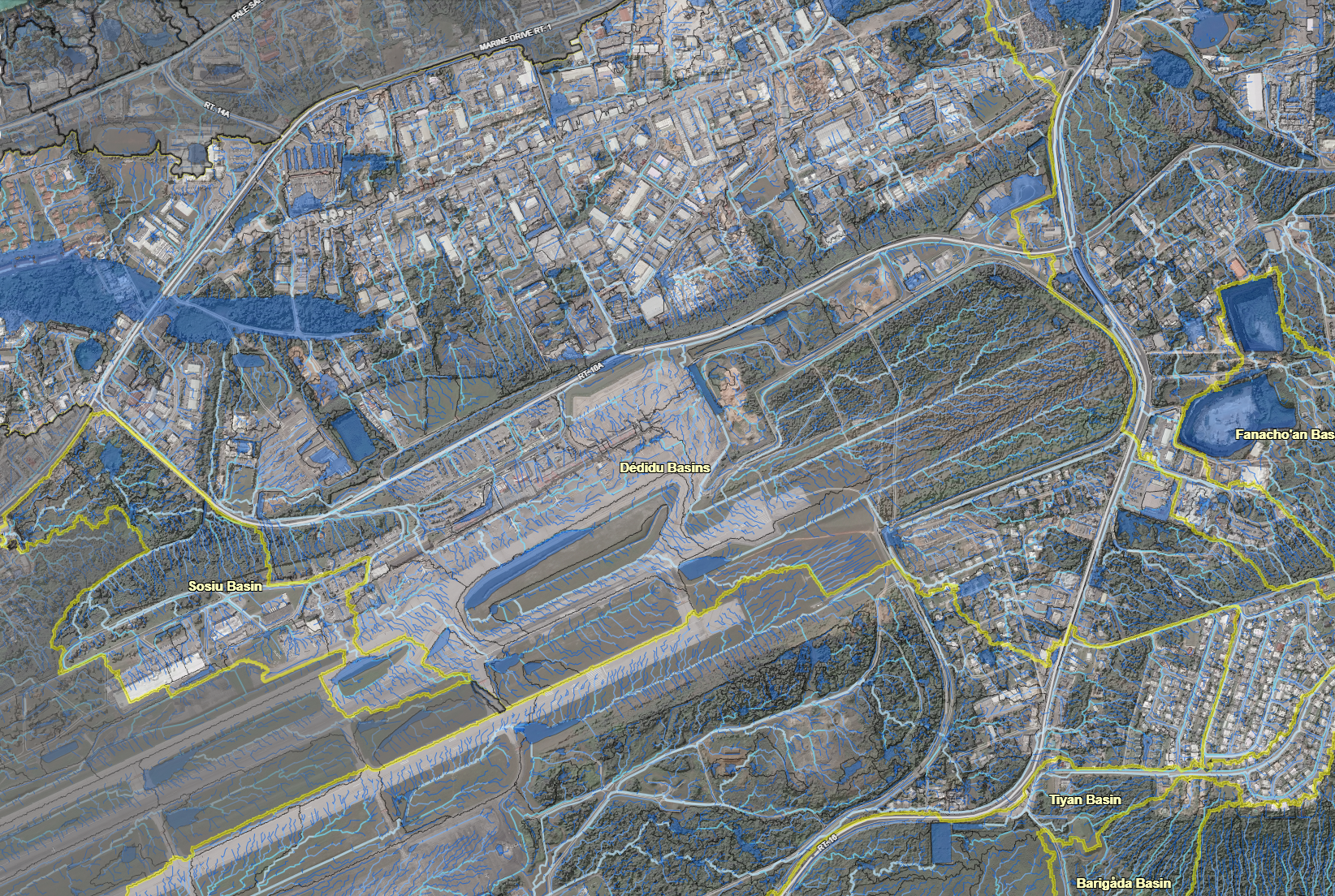
Surface Hydrology (LiDAR Imagery)

About

A map that features the LiDAR imagery of the surface hydrology of the Northern Guam Lens Aquifer (NGLA). ​

Updates

Last updated in 2022

Web Map App

See some of the viewing options below #add in desktop and mobile view

Other Versions

Click on the icon to view a different version of the surface hydrology map, which shows each plateau basin and their CHamoru names.

Maps by Organizations Browse

Water & Environmental Research Institute of the Western Pacific

Guam Bureau of Statistics & Plans

Kumisión I Fino’ CHamoru

Federal Emergency Management Agency

Latest Maps Browse

Back to top

Our site uses cookies. By using this site, you agree to the Privacy Policy and Terms of Use.