About
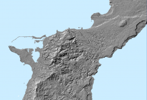
This map shows the plateau basins with their CHamoru names.
Table Of Content
Updates
Last updated in 2021
Web Map App
See some of the viewing options below #add in desktop view: https://werinch2018.maps.arcgis.com/apps/webappviewer/index.html?id=7f506c88a95747aa8774b0c0d311d7da and mobile view
Other Versions
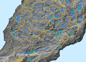
Click on the icon to view the LiDAR Imagery version of the surface hydrology map.