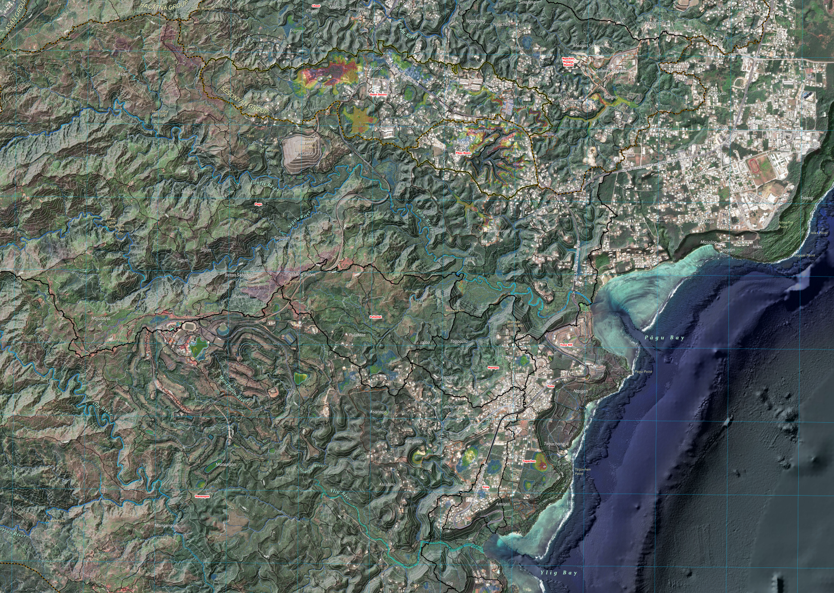
This is the first version of the highest-resolution hydrologic map of Guam’s watersheds. The analysis builds on recent terrain and hydrologic studies of the Northern Guam Lens Aquifer, particularly the Surface Hydrology of the Northern Guam Lens Aquifer (WERI Technical Report 175), and continues through an iterative process that delineates runoff paths within surface depressions. The final stage—assigning place names to hydrologic features—is currently underway in collaboration with the Kumision I Fino’ CHamoru and the Kumision I Na’an Lugat Guåhan team. The technical report for this hydrologic product is also underway.
Downloadable Map Content
Click on an item below to begin the file download.
All available reports (e.g., annual reports, state of the aquifer, etc.) and research areas are now in one place – check them out under Reports and Research.
We thank you for your patience as we continue to roll out updates and improve the site. If you need any help, feel free to reach out here.