Guam Hydrologic Survey

Guam Public Law 24-247 & 24-161

MAppFx Library

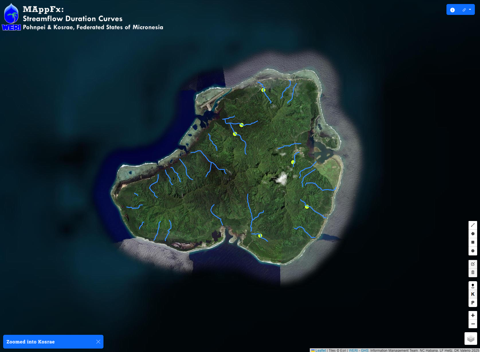
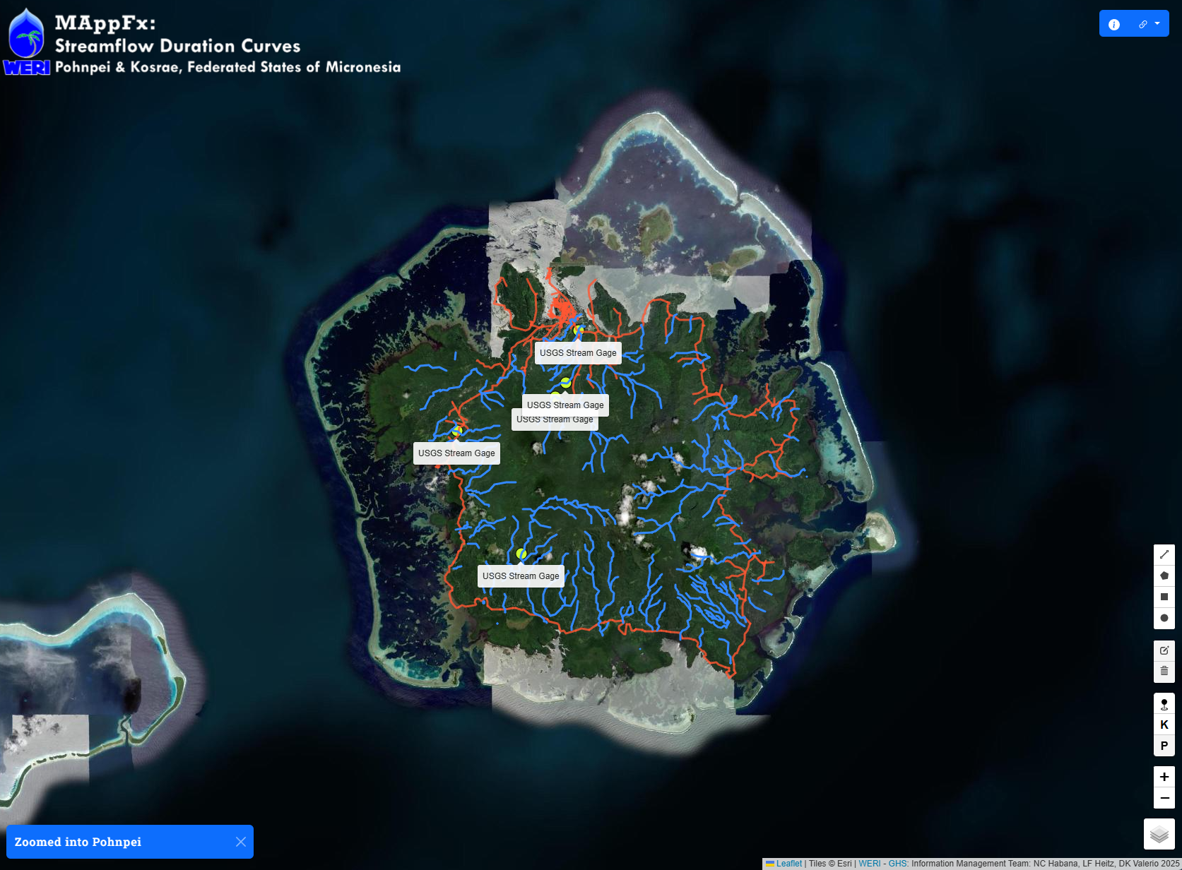
MAppFx is an interactive map environment that retrieves a graph of a site upon clicking on a map feature object–be it a point, polygon, or a line. WERI MAppFx is a product of WERI through the Guam Hydrologic Survey Program (P.L. 24-247) and USGS 104-b, available through the Guam Hydrologic Survey website. 

MAppFx is developed by the Guam Hydrologic Survey Information Management Team: Dannika Kate Valerio, Matt Wilson Zapata, Leroy F. Heitz, PhD, and Nathan C. Habana, PhD. The first two MAppFx products, Northern Guam Lens Aquifer: Production Well Nitrates and Southern Guam: Ugum Watershed – Streamflow Duration Curves, were done in collaboration with Brigham Young University’s Civil Engineering Department: Drs. Riley Hales, Gus Williams, and Norm Jones. 

Back to top

Our site uses cookies. By using this site, you agree to the Privacy Policy and Terms of Use.

Hafa Adai,

Welcome to our new site!

All available reports (e.g., annual reports, state of the aquifer, etc.) and research areas are now in one place – check them out under Reports and Research

We thank you for your patience as we continue to roll out updates and improve the site. If you need any help, feel free to reach out here.

Happy exploring!